SVC 04
Seasonal Crop Scouting
Your fields, monitored all season — problems flagged before they cost yield
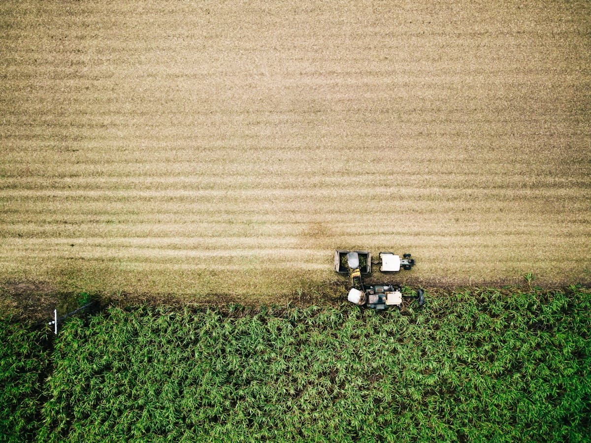
Walking fields catches what you happen to walk past. Scheduled aerial scouting catches everything, every time — emergence gaps, spreading disease, weed escapes, water stress — mapped and compared against the last flight so trends are obvious.
The comparison is the whole point. One NDVI map tells you where the field is weak; six flown on a schedule tell you whether it's getting worse, how fast, and which direction it's spreading. That's the difference between a picture and an early warning.
Reports arrive as clean digital summaries within 48 hours of each flight: updated vigor maps, annotated imagery of flagged areas, and plain recommendations on what deserves a closer look.
Who this is for
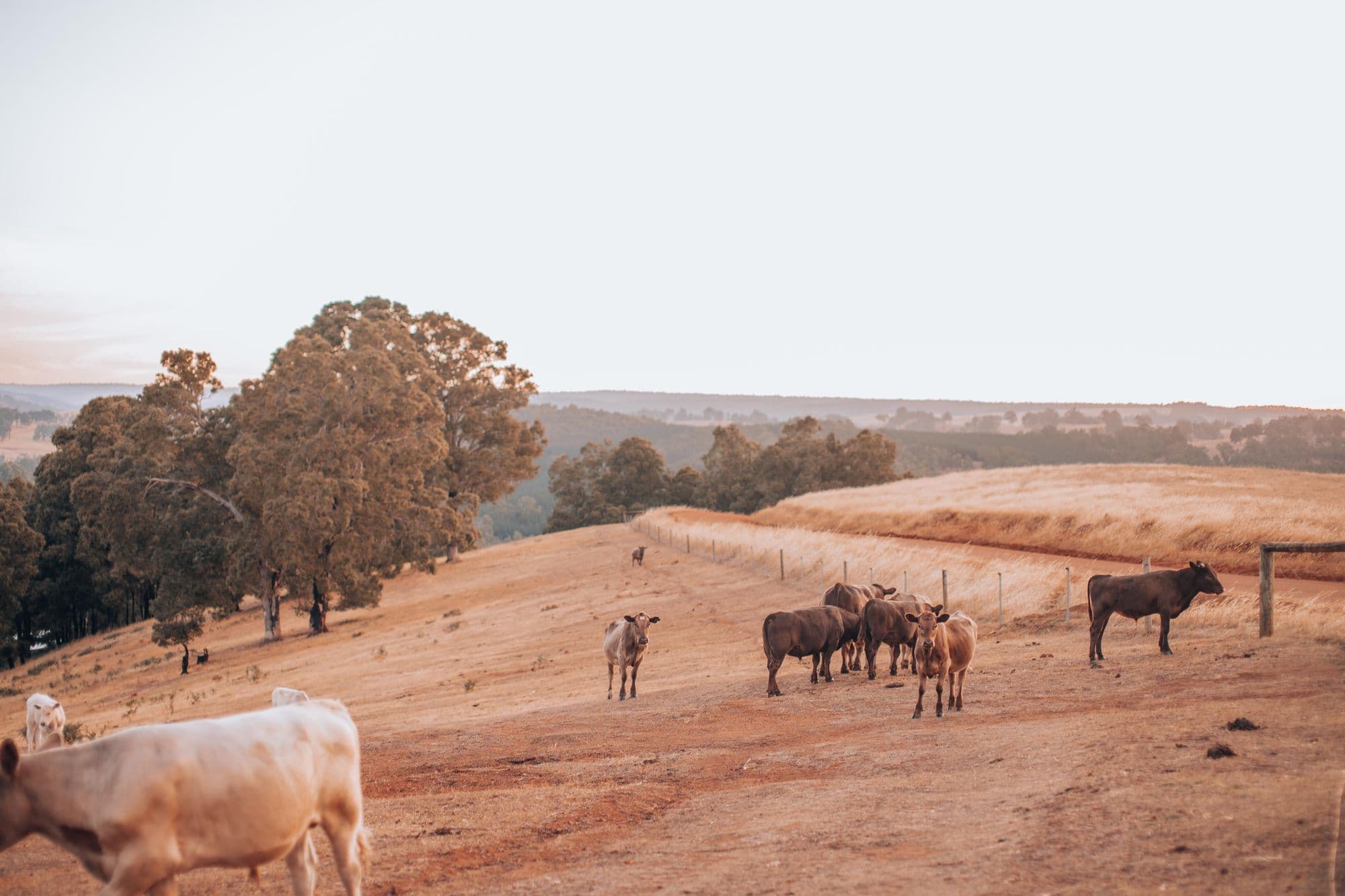
Row-crop farms from 100 acres up, farm managers with scattered tracts, and hay/pasture operations that want eyes on every field without burning windshield time.
Subscriptions run the growing season, April–October.
Ready to put a pilot on your fields?
Quotes are free, straight, and same-day. Tell us what you're up against.