~25 minutes west on I-20.
Drone crop mapping & field imagery in Jefferson County, Alabama
Jefferson County's farms sit on the urban fringe — smaller tracts, close neighbors, tight boundaries, and land values that make accurate acreage and boundary documentation worth having on paper. Sub-inch imagery does what a satellite pass over a 15-acre block never will.
What we fly in Jefferson
Jefferson County's farm economy runs on mixed agriculture and urban-fringe farms. These are the services that fit that ground best:
RGB Mapping & Orthomosaics
From $5/acreHigh-resolution stitched imagery of your fields — survey-grade enough to measure acreage, plan drainage, and document damage.
Full details →
Crop Health Mapping (NDVI & NDRE)
From $7/acreNDVI and NDRE imaging turns a 20-minute flight into a field-wide health map — no more walking hundreds of acres to find the problem spot.
Full details →
Seasonal Crop Scouting
From $200/monthScheduled flights April through October with NDVI maps, annotated imagery, and flagged issues delivered to your phone. Like a scout that never misses a week.
Full details →
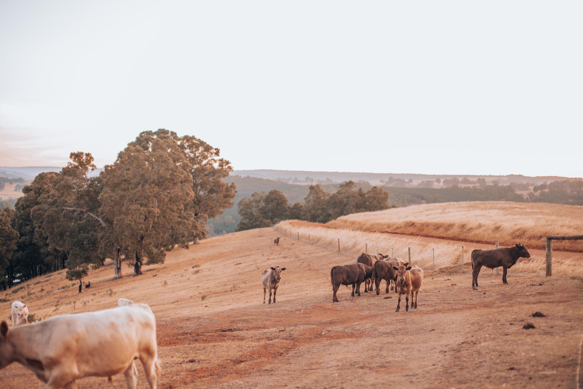
Farming in Jefferson? Let's talk.
Free quote, same day, from a pilot based right up the road.