Services
Everything we fly today
We map. Multispectral imagery, orthomosaics, management zones, and the prescription files your equipment reads — flown with a Mavic 3 Multispectral and turned around in 48 hours. Application is our next milestone, and we're honest about where that stands.
SVC 01
Crop Health Mapping
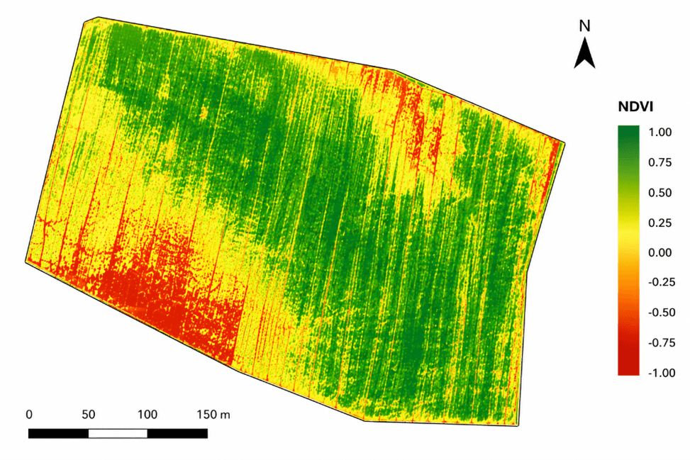
NDVI and NDRE imaging turns a 20-minute flight into a field-wide health map — no more walking hundreds of acres to find the problem spot.
SVC 02
RGB Mapping
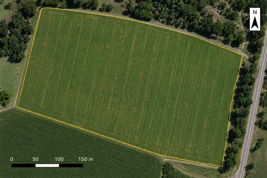
High-resolution stitched imagery of your fields — survey-grade enough to measure acreage, plan drainage, and document damage.
SVC 03
Prescription Maps
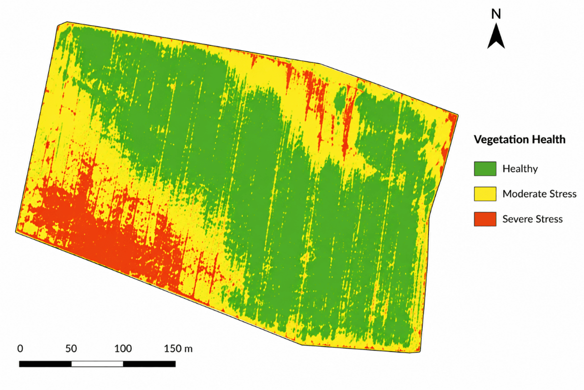
Management zones and variable-rate files built from your field's actual condition — compatible with John Deere, Trimble, AgLeader, and Climate FieldView.
SVC 04
Scouting Plans
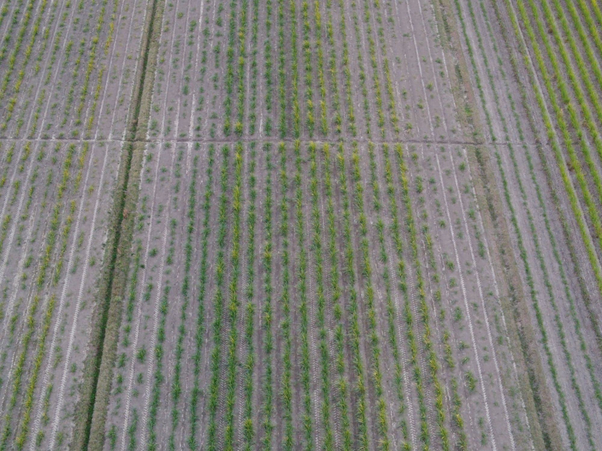
Scheduled flights April through October with NDVI maps, annotated imagery, and flagged issues delivered to your phone. Like a scout that never misses a week.
◇ Next milestone
Aerial application — not yet, and here's why
Spraying, spreading, and variable-rate application are where this business is headed. Getting there means an FAA Part 137 agricultural aircraft operator certificate, an Alabama aerial applicator license, and the aircraft itself. Until all three are in hand we won't quote it, book it, or fly it.
◇ Next milestone
Crop Spraying
Fungicides, herbicides, insecticides, and foliar feed applied by air. Not yet in service: aerial application requires FAA Part 137 certification, which is what we're working toward now.
◇ Next milestone
VRA Spraying
Prescription-driven application, where the aircraft adjusts flow in real time across management zones. Depends on the same Part 137 certification as standard spraying.
◇ Next milestone
Spreading & Seeding
Cover-crop seed, granular fertilizer, pelletized lime, and food plots placed by GPS without compacting a foot of soil. Comes with the application aircraft.
Want to know the day it opens? Mapping customers get told first — and the field data we collect for you now is exactly what makes the first application pass worth flying.
Not sure which service fits?
Describe the problem — a bad spot you can't explain, a wet corner, a fertility question — and we'll tell you the cheapest way to answer it. Sometimes that's not even us.